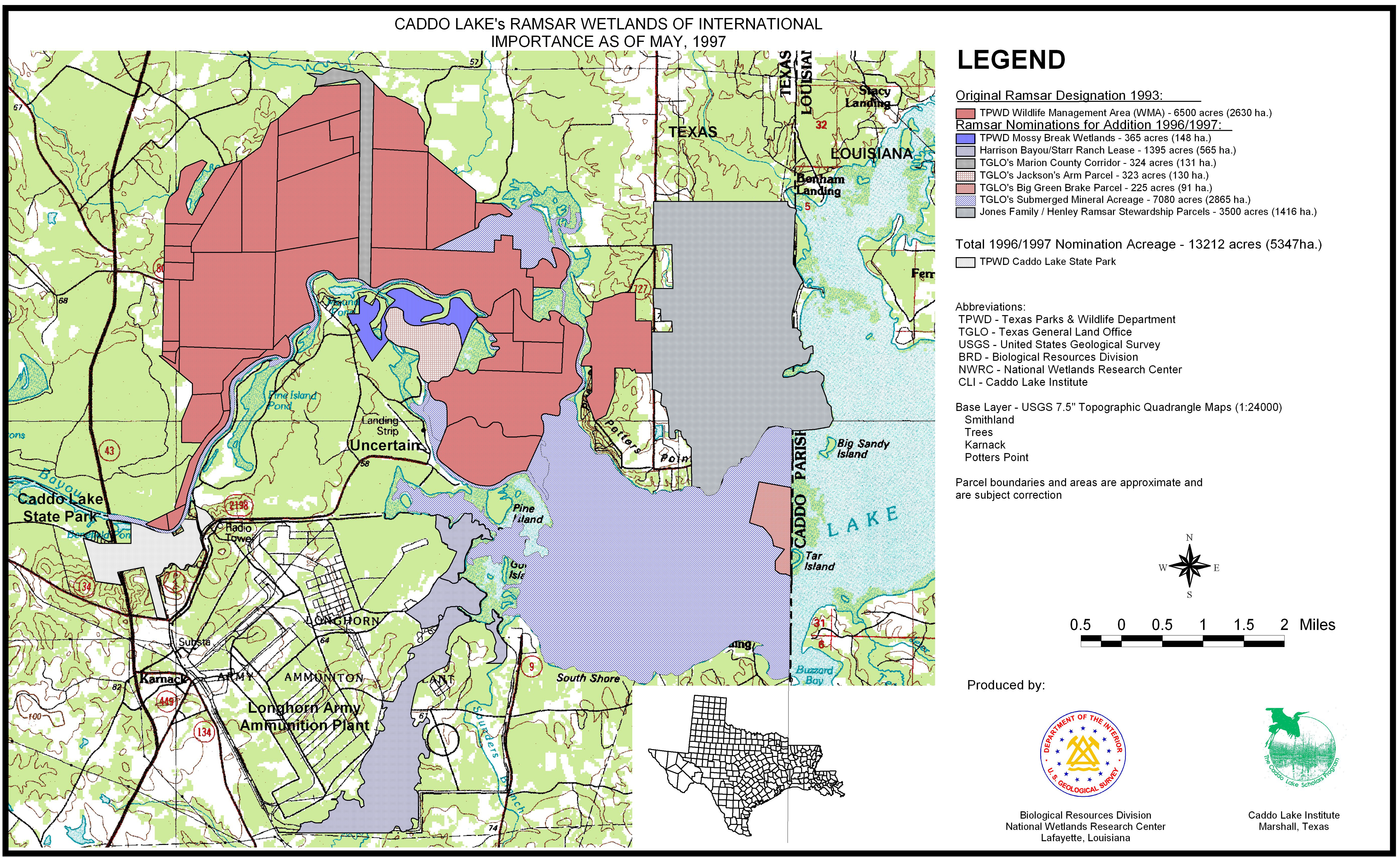
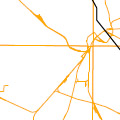
Caddo Lake Institute Maps
- 1996 Caddo Lake Ramsar Site Map
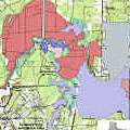
- Download PDF Download JPEG
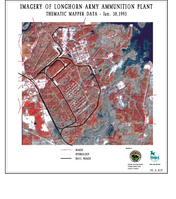
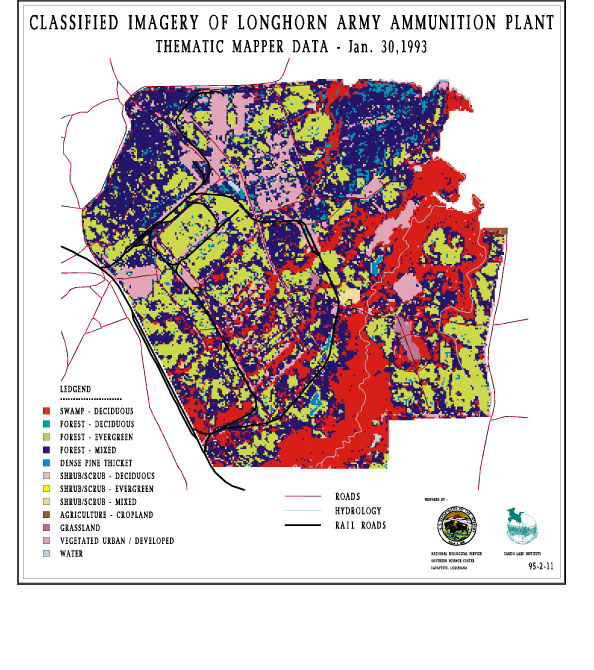
Longhorn Army Ammunitions Plant (LAAP)
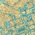
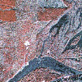
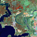
- Thematic Mapper Data
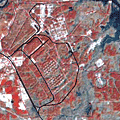
- Download PDF Download JPEG
- Map shows Thematic Mapper Imagery of the LAAP.
- TM Bands 4,5,3 are shown
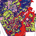
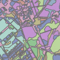
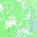
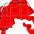
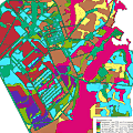
- Land Use/Land Cover Classification
- Download PDF Download JPEG
- Land Use/Land Cover classification of the LAAP.
- Data from the January 1992.
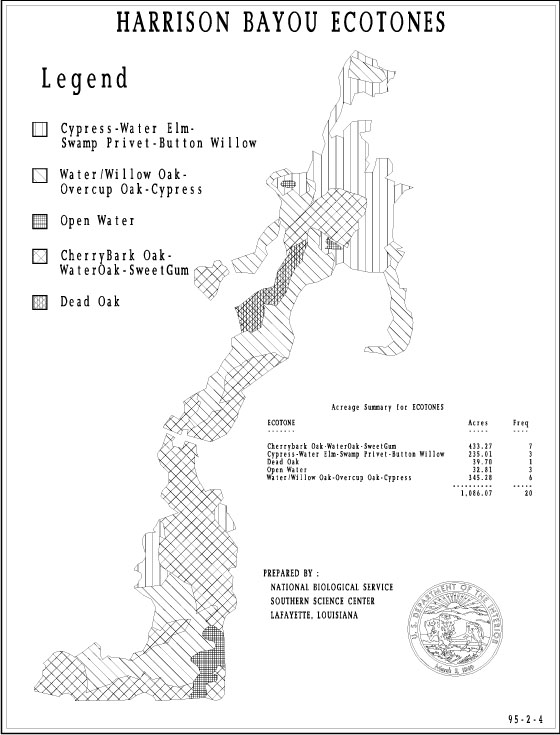
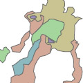
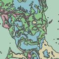
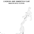
- Harrison Bayou Ecotones
- Download PDF Download JPEG
- Map shows the various ecotones present along Harrison Bayou (eg. Cypress-Water Elm -Swamp Privet-Button Willow, Water/Willow Oak-Overcup Oak-Cypress, etc.)
- Harrison Bayou flows through LAAP
- Ecotones were depicted from aerial photography of Harrison Bayou
- Harrison Bayou Ecotones (Color)
- Download PDF
- Species Sites
- Download PDF Download JPEG
- Map shows the location of endangered species and other species of importance spotted in the LAAP
- Species sites were determined by eye-witness accounts of various species sited on LAAP.
- Geographic locations of the sites were determined by using a Global Positioning System
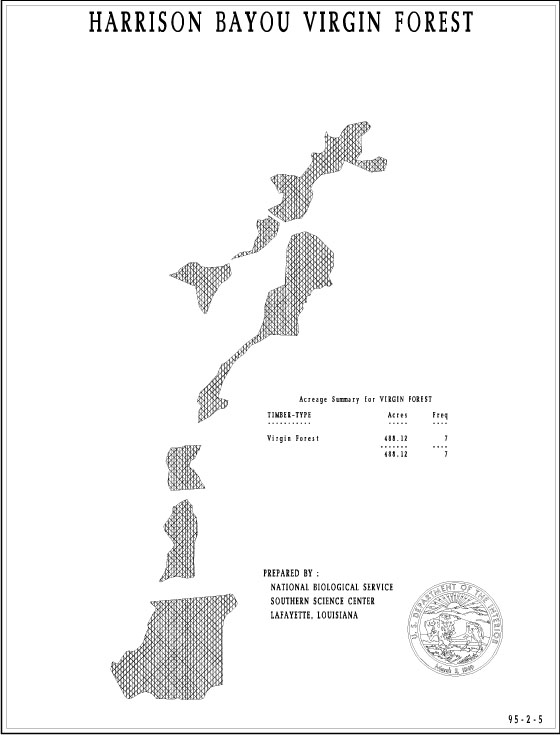
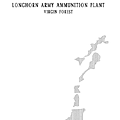
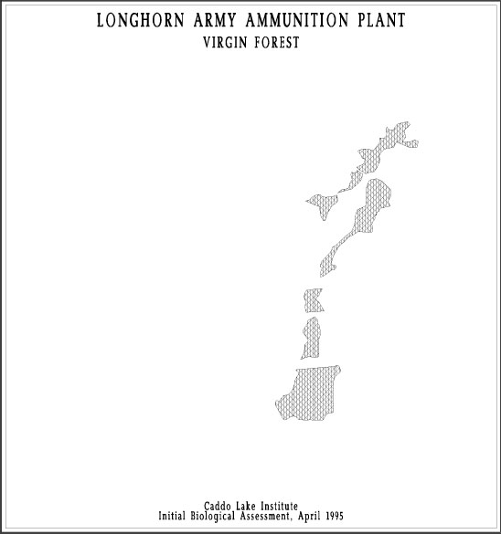
- Harrison Bayou Virgin Forest
- Download PDF Download JPEG
- Map shows the various virgin timber stands present along Harrison Bayou.
- Virgin timber stands were depicted from aerial photography of Harrison Bayou.
- Harrison Bayou Virgin Timber

- Download PDF
- Infrared 1073

- Download PDF
- Infrared 1093
- Download PDF
- LAAP Ecotones
- Download PDF
- LAAP Plant Boundary
- Download PDF
- LAAP Woodland Management Units
- Download PDF
GIS Layers
- Habitat
- Download PDF
- Hydrology
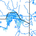
- Download PDF
- Infrared
- Download PDF
- Pipelines
- Download PDF
- Railroads
- Download PDF
- Roads
- Download PDF
- Thematic
- Download PDF
- USGS
- Download PDF
- Zoomed version on page 2 of PDF file
- Wildlife Management Area
- Download PDF
Basemaps
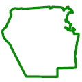
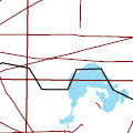
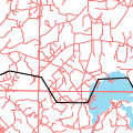
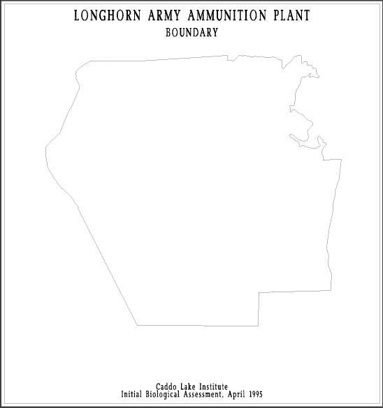
- Plant Boundary
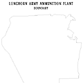
- Download PDF Download JPEG
- Aerial Photo of Plant
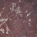
- Download PDF Download JPEG
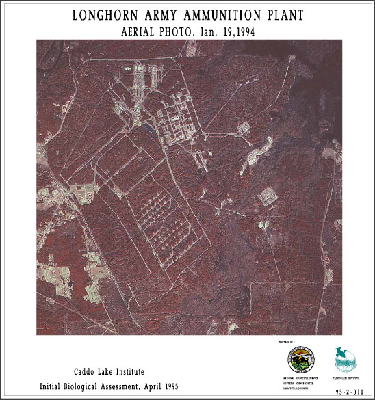
- Topographic Quads of Plant
- Download PDF Download JPEG
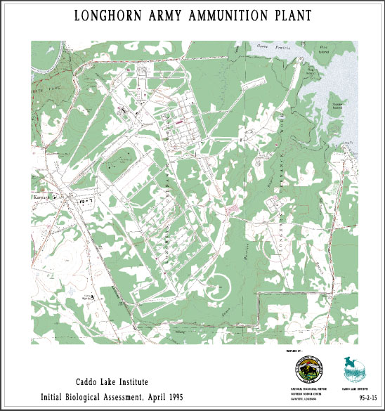
Overlays
- Ground Truth Sites
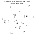
- Download PDF Download JPEG
- Location of the various sites used to ground truth the land use/land cover map mentioned above.
- Sites were depicted from aerial photography
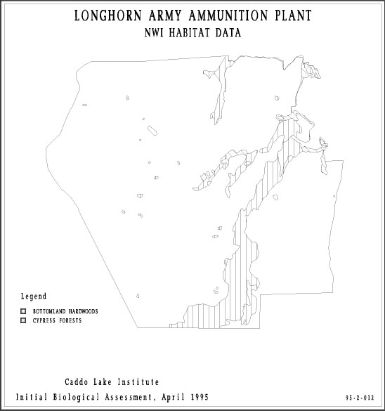
- NWI Habitat Data
- Download PDF Download JPEG
- Map shows the location of lands classified as "wetlands" by the U.S. Fish & Wildlife Service National Wetlands Inventory (NWI).
- Bottomland hardwoods and cypress forests dominate the plant along Harrison Bayou.
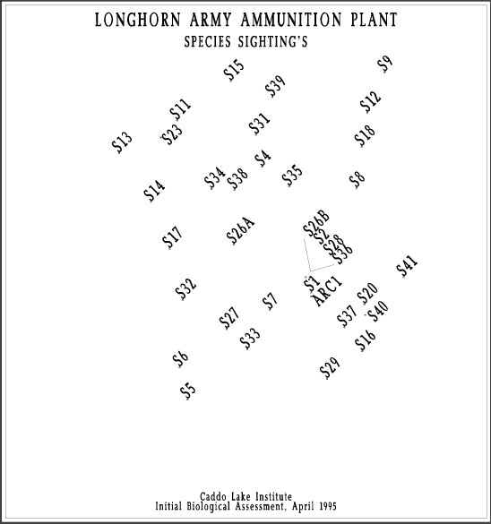
- Species Sightings
- Download PDF Download JPEG
- Map shows the location of endangered species and other species of importance spotted in the LAAP
- Species sites were determined by eye-witness accounts of various species sited on LAAP.
- Geographic locations of the sites were determined by using a Global Positioning System
- Harrison Bayou Ecotones (Overlay)
- Download PDF Download JPEG
- Map shows the various ecotones present along Harrison Bayou (eg. Cypress-Water Elm -Swamp Privet-Button Willow, Water/Willow Oak-Overcup Oak-Cypress, etc.)
- Harrison Bayou flows through LAAP
- Ecotones were depicted from aerial photography of Harrison Bayou
- Virgin Forest (Overlay)
- Download PDF Download JPEG
- Map shows the various virgin timber stands present along Harrison Bayou.
- Virgin timber stands were depicted from aerial photography of Harrison Bayou.
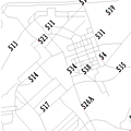
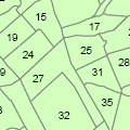
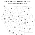
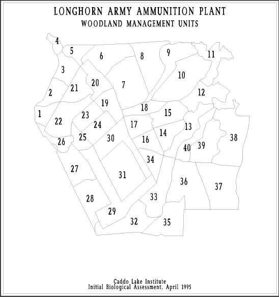
- Woodland Management Units
- Download PDF Download JPEG
- Map show the woodland management units of LAAP.
- Longhorn Ecotone Map
- Download JPEG