Scale/Resolution: 1:24,000
Data Type: vector polygon & line coverages
Source: United States Fish & Wildlife Service (USFWS)
Description:
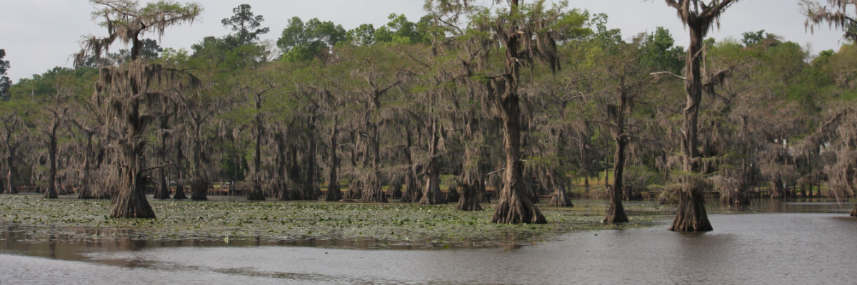
Vector delineation of the habitats found on the 7.5 minute quadrangles (Karnack, Potters Point, Trees, Smithland, Jefferson, & Woodlawn) falling in the Caddo Lake ecosystem. Classes are based on the NWI Classification.* Classes have been simplified into the following: Bottomland Hardwoods, Cypress Forest, Cypress Forest (Permanent Flooding), Emergents, Open Water, Scrub/Shrub Wetlands, & Upland. Delineation was performed by classifying aerial photography. * – For more information of the NWI Classification contact the USFWS for a complete guide of the classification scheme.
Download: