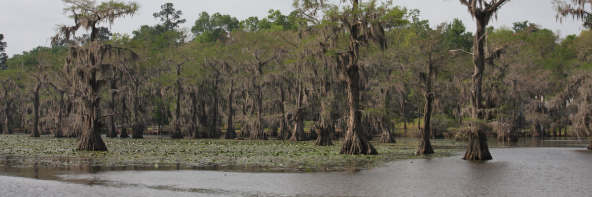
Scale/Resolution: 30m pixels
Data Type: raster layer, Erdas v7.5 GIS File
Source: U.S. Geological Survey (USGS), National Wetlands Research Center
Description:
TM satellite imagery from January 30, 1993. The original TM scene was subsetted into 3 bands (4,5, & 3). The subsetted file was then processed using the RGBCLUS routine in Erdas v7.5. The resulting file is an 8-bit GIS file. Bands 4,5,3 were chosen because of the usefulness of those bands in environmental management.
Download: