Scale/Resolution: approx. 1:12,000
Data Type: vector polygon & line coverage
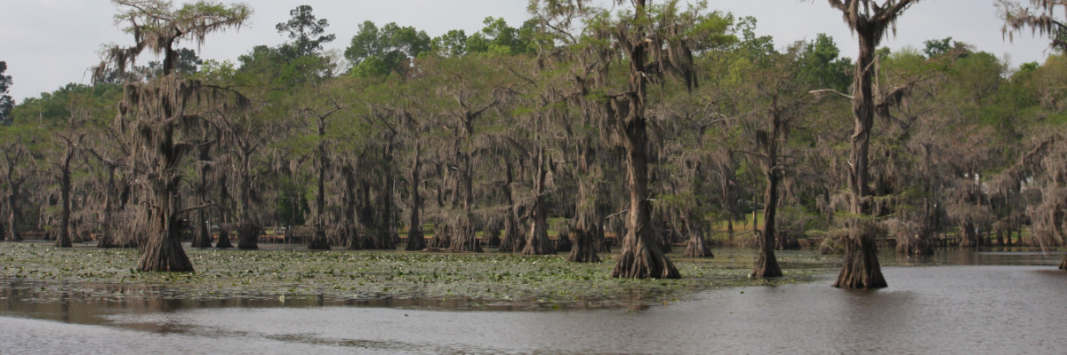
Source: Caddo Lake Institute
Description:
Digital vector delineation of the Karnack High School Wetland. The perimeter was mapped using a GPS (Global Positioning System) and imported into Arc/Info.
Download:
- Download NAD83 Data
- Download NAD27 Data