
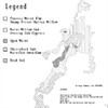
Caddo Lake Institute Maps
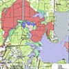
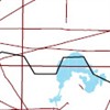
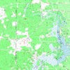
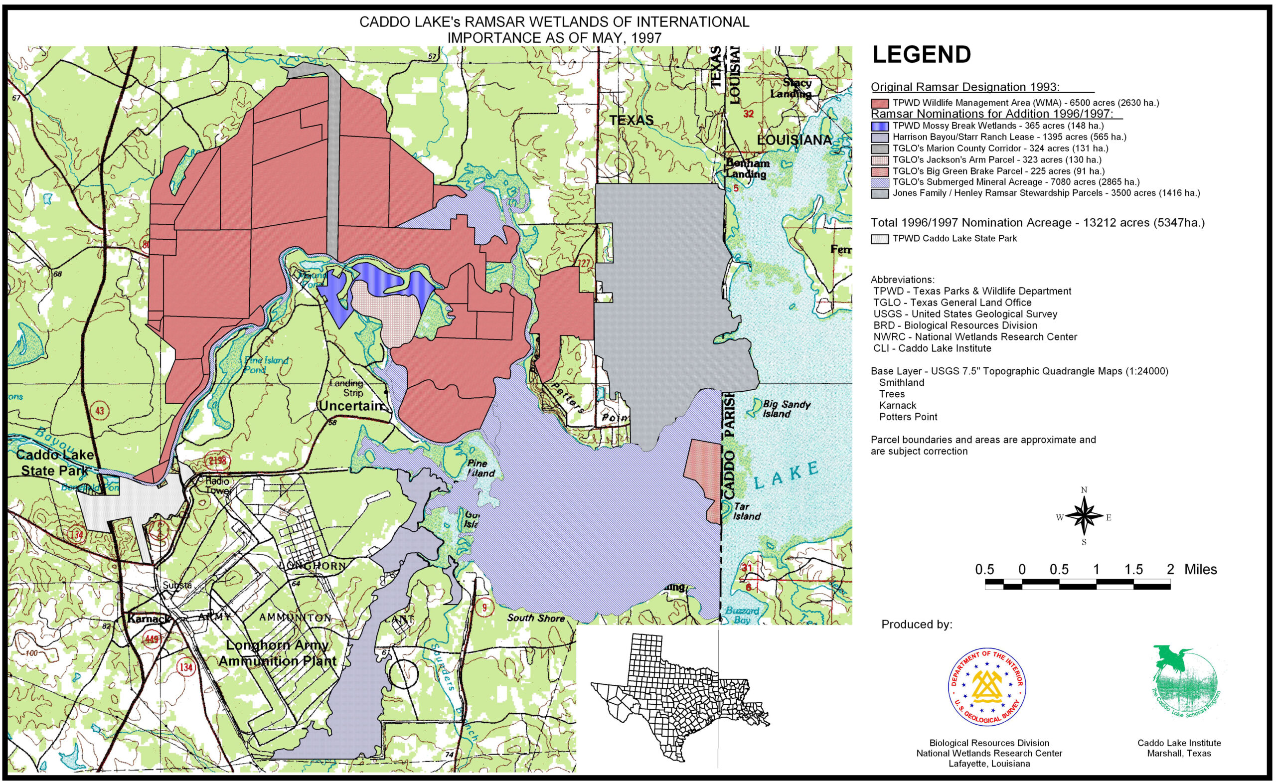
1996 Caddo Lake Ramsar Site Map
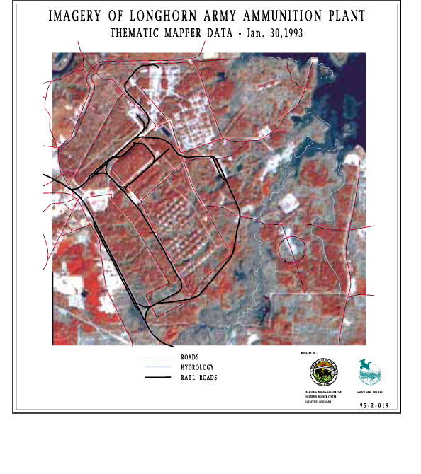
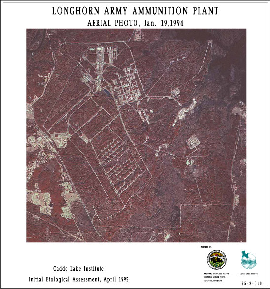
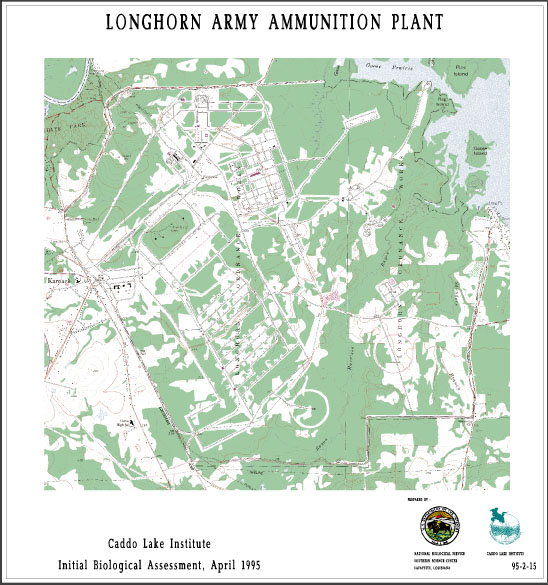
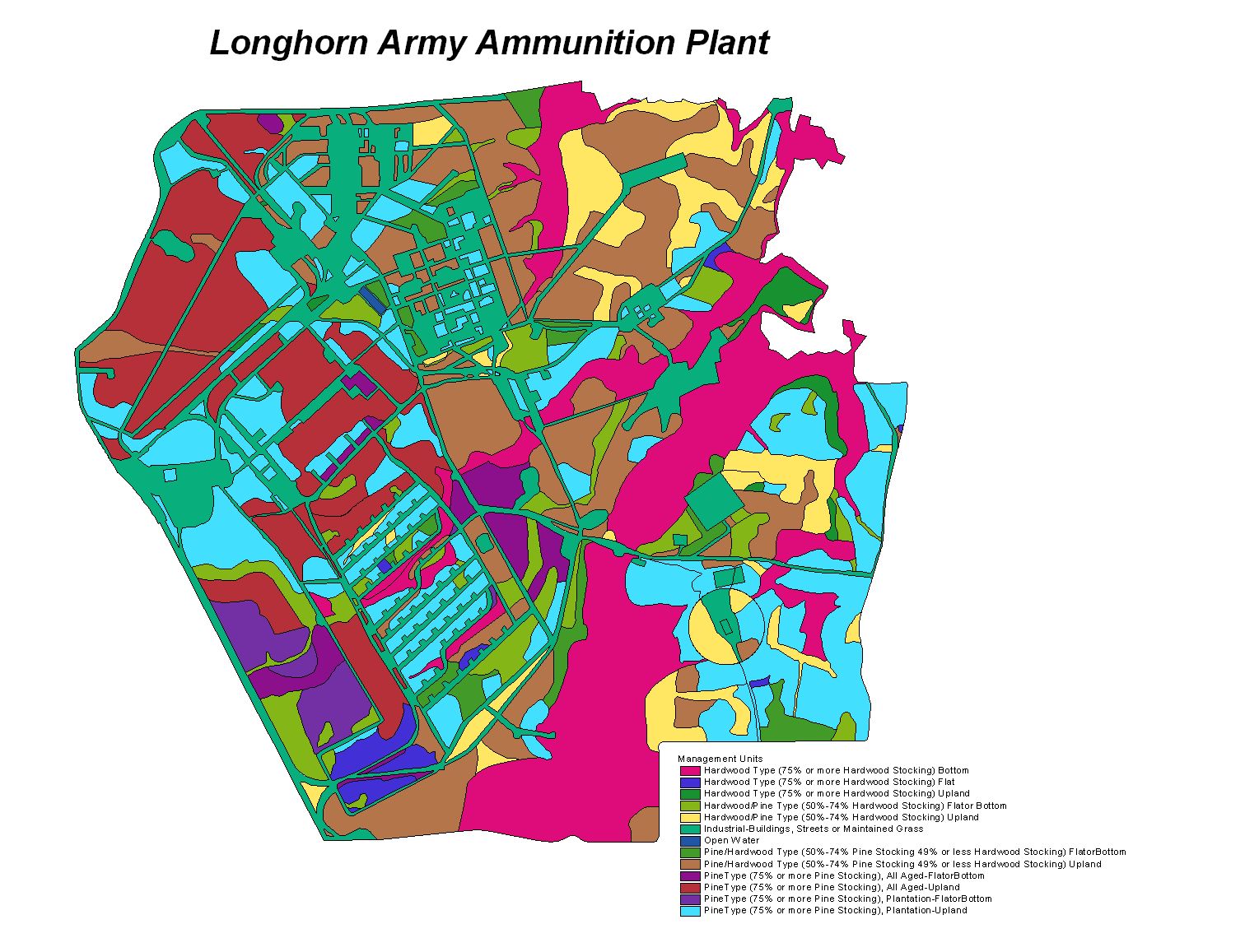
Longhorn Army Ammunitions Plant (LAAP)
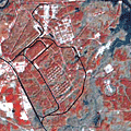
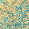
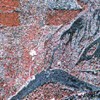
Thematic Mapper Data
- Map shows Thematic Mapper Imagery of the LAAP.
- TM Bands 4,5,3 are shown
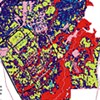
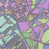
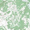
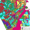
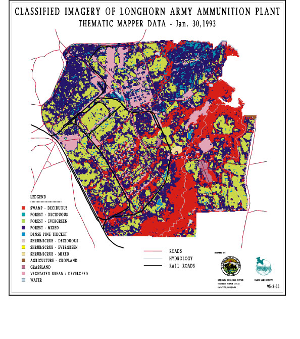
Land Use/Land Cover Classification
- Land Use/Land Cover classification of the LAAP.
- Data from the January 1992.
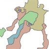
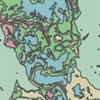
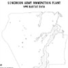
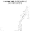
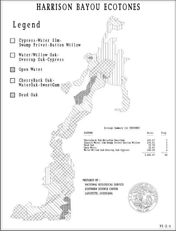
Harrison Bayou Ecotones
- Map shows the various ecotones present along Harrison Bayou (eg. Cypress-Water Elm -Swamp Privet-Button Willow, Water/Willow Oak-Overcup Oak-Cypress, etc.)
- Harrison Bayou flows through LAAP
- Ecotones were depicted from aerial photography of Harrison Bayou
Harrison Bayou Ecotones (Color)
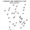
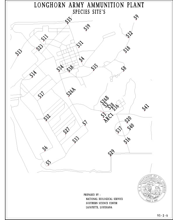
Species Sites
- Map shows the location of endangered species and other species of importance spotted in the LAAP
- Species sites were determined by eye-witness accounts of various species sited on LAAP.
- Geographic locations of the sites were determined by using a Global Positioning System
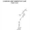
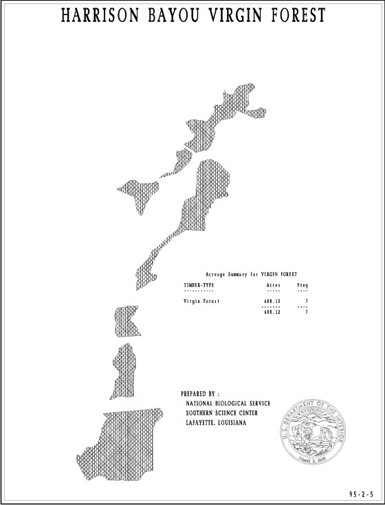
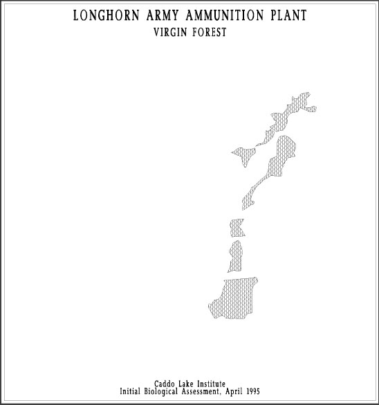
Harrison Bayou Virgin Forest
- Map shows the various virgin timber stands present along Harrison Bayou.
- Virgin timber stands were depicted from aerial photography of Harrison Bayou.

Harrison Bayou Virgin Timber

Infrared 1073
Infrared 1093
LAAP Ecotones
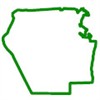
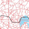
LAAP Plant Boundary
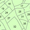
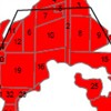
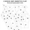
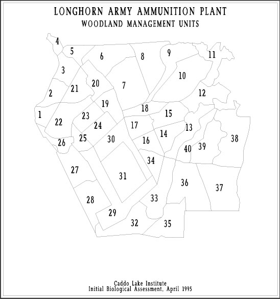
LAAP Woodland Management Units
GIS Layers
Habitat

Hydrology
Infrared
Pipelines

Railroads
Roads
Thematic
Wildlife Management Area
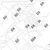
Basemaps

Plant Boundary
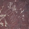
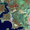
Aerial Photo of Plant
Topographic Quads of Plant
Overlays

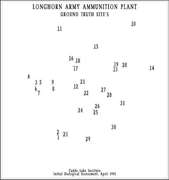
Ground Truth Sites
- Location of the various sites used to ground truth the land use/land cover map mentioned above.
- Sites were depicted from aerial photography
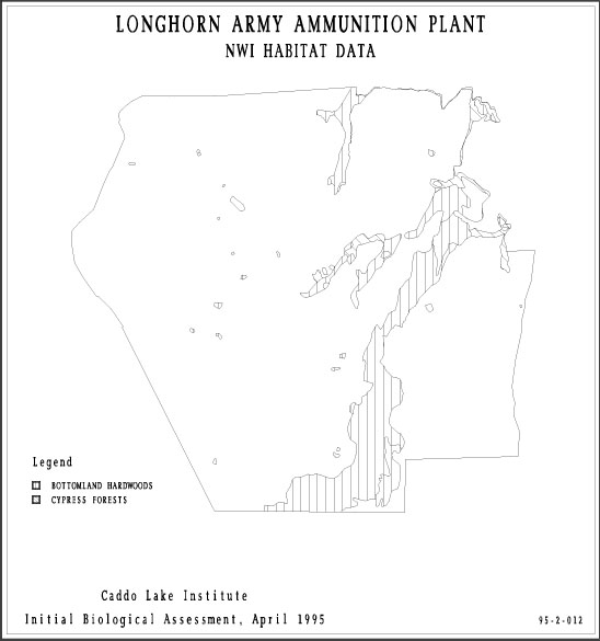
NWI Habitat Data
- Map shows the location of lands classified as “wetlands” by the U.S. Fish & Wildlife Service National Wetlands Inventory (NWI).
- Bottomland hardwoods and cypress forests dominate the plant along Harrison Bayou.
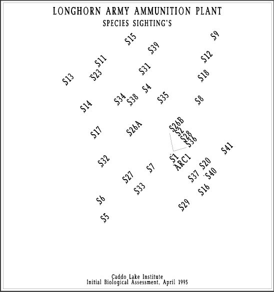
Species Sightings
- Map shows the location of endangered species and other species of importance spotted in the LAAP
- Species sites were determined by eye-witness accounts of various species sited on LAAP.
- Geographic locations of the sites were determined by using a Global Positioning System
Harrison Bayou Ecotones (Overlay)
- Map shows the various ecotones present along Harrison Bayou (eg. Cypress-Water Elm -Swamp Privet-Button Willow, Water/Willow Oak-Overcup Oak-Cypress, etc.)
- Harrison Bayou flows through LAAP
- Ecotones were depicted from aerial photography of Harrison Bayou
Virgin Forest (Overlay)
- Map shows the various virgin timber stands present along Harrison Bayou.
- Virgin timber stands were depicted from aerial photography of Harrison Bayou.
Woodland Management Units
- Map show the woodland management units of LAAP.
Longhorn Ecotone Map